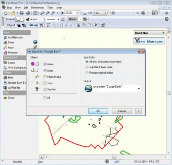
Create GPS enabled geo maps directly on the background of aereal photos and road maps from the internet. Import geodata from Google-Earth, OpenStreetMap, GPS tracks and GPS logger. Map editor , manually digitizing. Specifical graphical objects (borderlines, borderareas) to guarantee exact same borders of neighbour areas..Screen calibration for true to display on the screnn.
Comments